Mine Surveying, Geomatics and Geoinformatics
Our research and development activities cover a wide range of highly specialized tasks. These include mine surveying safety and operational control in mining, where we use innovative surveying and monitoring technologies to ensure the stability and safety of mining sites. Another key area is digital mapping, which we are continuously developing through the use of state-of-the-art geographic information systems (GIS) and advanced data processing algorithms.
Process control, operational data acquisition and engineering surveying are also integral parts of our work. We use state-of-the-art surveying systems, including photogrammetry (terrestrial and UAV-based), LiDAR (Light Detection and Ranging), GNSS (Global Navigation Satellite Systems) as well as methods of remote sensing and image processing methods in the visible and hyperspectral range to generate highly precise topographic and semantic data and evaluate it in real time. These technologies enable us to record even complex terrain changes and geological structures in detail and integrate them into mining planning.
In the field of mining damage research, we focus on securing surface use during and after active mining activities. This includes the precise prediction of ground movements and the development of innovative approaches to predicting movement patterns. Our work is carried out in close connection with geodetic surveys to ensure well-founded and reliable forecasts.
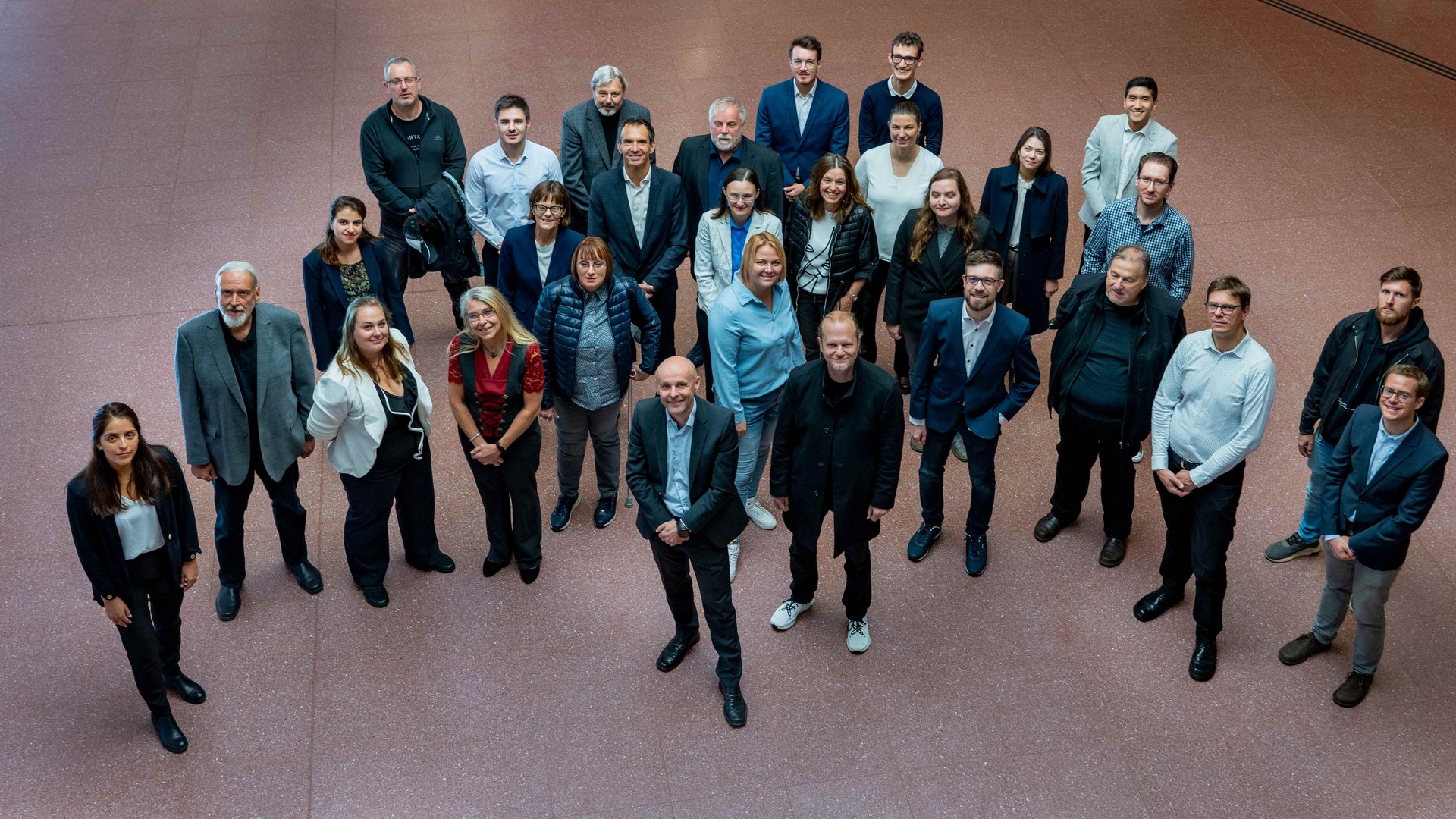
Team

Ass.Prof. Dipl.-Ing. Dr.mont. Gerhard MAYER
Deputy Head
Senior Researcher
Mine Surveying
E-Mail: gerhard.mayer(at)unileoben.ac.at
Phone: +43 3842 402 2035

Dipl.-Ing. Dr.-Ing. Aleksandra BABARYKA
Senior Scientist
E-Mail: aleksandra.babaryka@unileoben.ac.at
Phone: +43 3842 402 2006

Rushaniia GUBAIDULLINA, inz. PhD
Senior Scientist
rushaniia.gubaidullina(at)unileoben.ac.at
Phone: +43 3842 402 2028

Dipl.-Ing. Dr.mont. Alexander MOSER-TSCHARF (Part time)
Senior Lecturer
alexander.moser-tscharf(at)unileoben.ac.at
Phone: +43 3842 402 2018
